 Sedona City Guide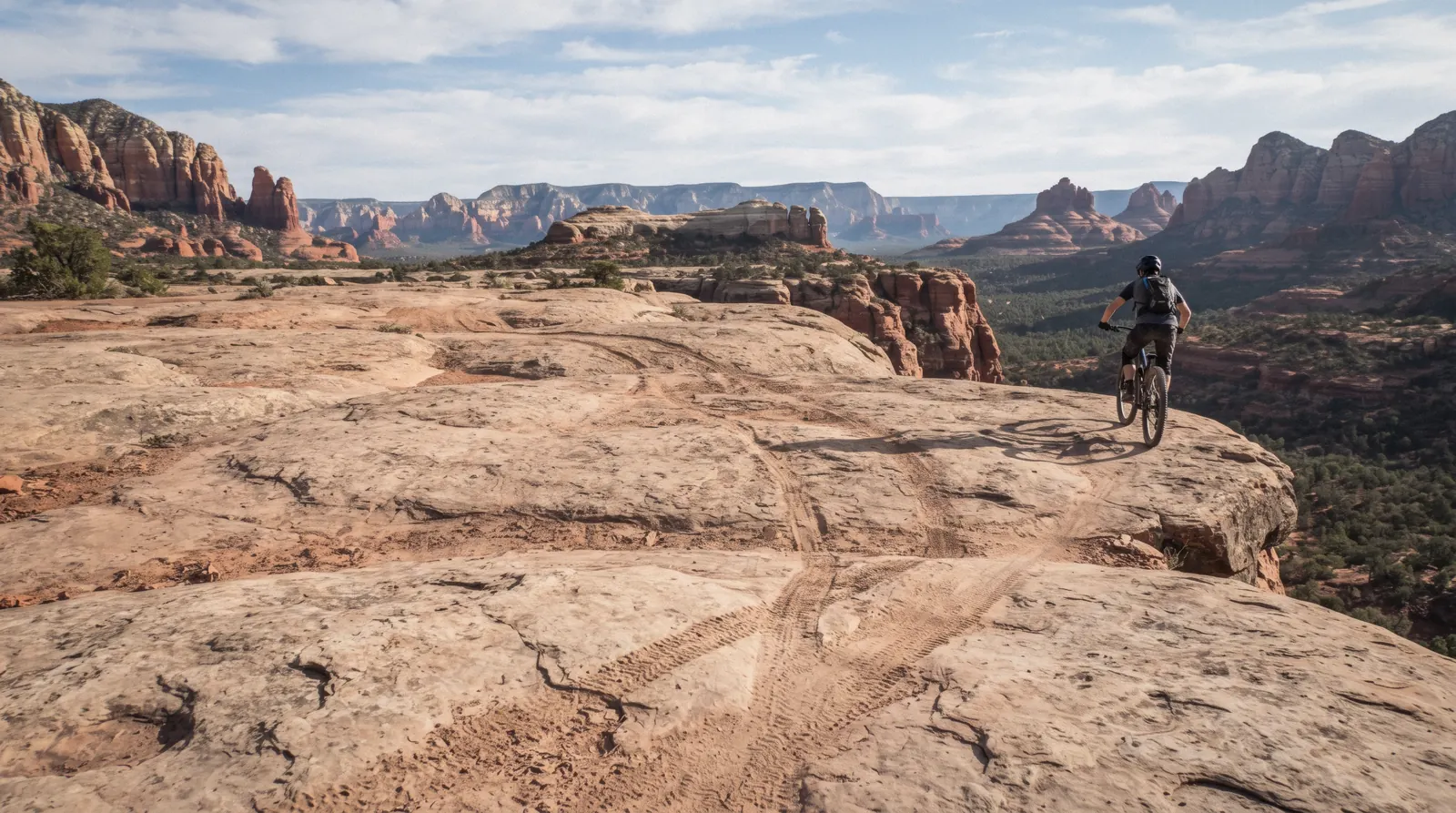
Broken Arrow Trail
Broken Arrow Trail No. 125 is 1.5 miles one way to the overlook everyone calls Chicken Point, or about 3.5 miles roundtrip with the signed detour to Submarine Rock, and it is shared, on the same slickrock, by hikers, mountain bikers and commercial jeep tours. This page covers what the Forest Service actually says about that sharing, where the trailhead is off Morgan Road, and when to walk this route instead of booking a jeep. The full Sedona hiking trails list ranks every trail in town; jeep tours covers the vehicle side of Sedona's red rock backcountry. The case for treating jeep routes and hiking trails as one Sedona decision is made on the homepage.
Quick answer Length to Chicken Point and Submarine Rock, and who shares this trail
Broken Arrow Trail runs 1.5 miles one way to Chicken Point, about an hour, or roughly 3.5 miles roundtrip with the signed Submarine Rock detour, rated Moderately easy by the Forest Service. It's a shared-use route: hikers, mountain bikers and commercial jeep tours all use the same slickrock.
Key takeaways
- The trailhead sits off Morgan Road and is not on the Red Rock Pass fee-site list, so parking is free with no pass required
- Jeep tours run this exact trail through the afternoon; the jeep tours hub lists Sedona's red-rock 4WD operators if riding rather than walking is the plan
- Submarine Rock is a signed side path about half a mile before Chicken Point, easy to miss if you're walking straight through to the main overlook
Key facts
Opening hours
| Trailhead, all year | Not gated; Forest Service publishes no fixed hours for this trailhead–Not stated |
|---|
Closed Not stated by the Forest Service page fetched for this guide
Admission
- Adult
- Free: no trail fee
- Reduced
- Not applicable
- Free
- The trail is free and the trailhead is not on the standard Red Rock Pass fee list
Planning it
- Time needed
- About 1 hour to Chicken Point one way, or 2.5 hours for the full loop with the Submarine Rock spur, the Forest Service's own figures
- Book ahead
- Optional — walk-up usually fine
- Address
- Broken Arrow Trailhead, off Morgan Road, South Sedona, AZ (via SR 179 south 1.4 miles to Morgan Road)
The walk and the jeep-tour alternative, priced from the Forest Service's own trailhead page and GetYourGuide, read on 9 September 2026. There is no fee on this trail itself; the choice is walking it or riding a commercial jeep tour over similar red-rock terrain nearby.
Are you walking this trail yourself, or do you want a jeep to cover similar red-rock terrain for you?
| Option | Price | What it gets you | Best for | Book |
|---|---|---|---|---|
| Walk in from the Morgan Road trailheadWalkers comfortable with jeep traffic on the same trail | Free: not on the Red Rock Pass fee list | 1.5 miles to Chicken Point, or 3.5 miles roundtrip with Submarine Rock | Anyone who wants the overlooks without sharing pace with a vehicle | Official site |
| Book a red-rock jeep tour insteadThis is a general Sedona jeep tour, not confirmed against this exact trail. The operator's own itinerary on its booking page states the route | $111.50 | A guided 4WD ride over Sedona's rock formations with a local guide | Visitors who want the jeep experience without walking any distance | Check Availability |
The trail's free status comes from the Forest Service's own trailhead page; the jeep tour price is GetYourGuide's listed rate on 9 September 2026. This site's tour data does not confirm which specific commercial jeep product drives Broken Arrow itself, only that the Forest Service's own page states jeep tours use the adjacent roads. Check an operator's own route description before booking on the strength of this trail's name.
Red-rock jeep tours near Broken Arrow's terrain
These are general Sedona jeep and guided-hike products, not confirmed against this exact route; prices are GetYourGuide's listed figures, read 9 September 2026. The full roster is on the jeep tours hub.
 from $111.50
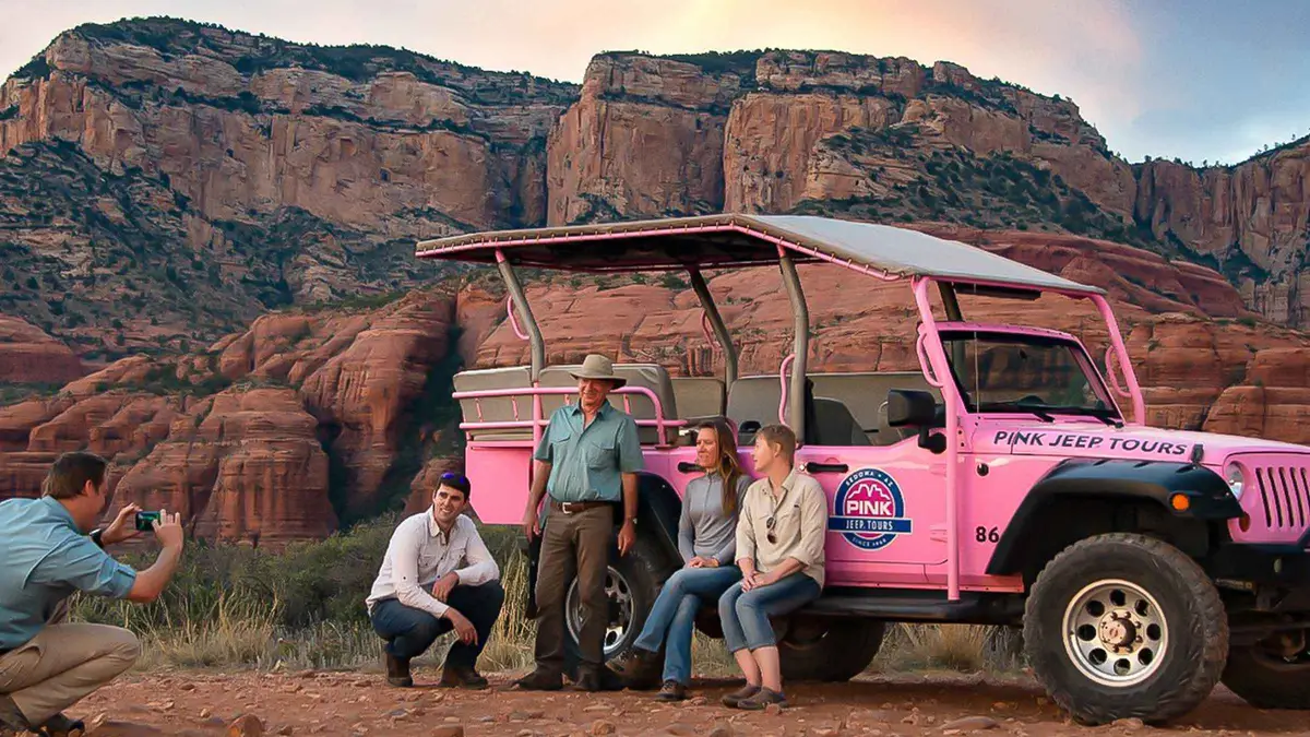
Sedona: Red Rock Range Pink Jeep Tour
A short Jeep run on mild dirt roads west of town to open panoramic viewpoints over Sedona's red rocks, including Thunder Mountain and Bradshaw Overlook. Suits first-time visitors who want scenery without a rough ride.
Check Availability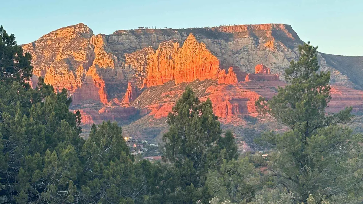 from $275
Sedona: Guided Wilderness Hiking Tour
A guided hike on off-the-beaten-path backcountry trails away from the busier named trailheads, aimed at travelers who have already done Cathedral Rock or Devil's Bridge. Suits repeat visitors who want less foot traffic over a bucket-list summit.
Check AvailabilityPrices, ratings and details are the platform's own, checked in Q3 2026; dollar figures are the listed prices — the platform bills in your account's currency.
The trail: Chicken Point, Submarine Rock, and the ground you're sharing
The Forest Service's own trail page is direct about both the destinations and who else is on this trail with you.
Chicken Point, 1.5 miles one way
The Forest Service's own routing ends the description simply: "continue to the end of the trail at Chicken Point at 1.5 miles for more great views." It's an open slickrock overlook with sweeping red-rock views in most directions, and the name comes from the exposed final approach that some visitors find intimidating enough to turn back from, hence "chicken." There is no fence, no rail and no marked stopping line; the overlook is simply where the maintained trail ends.
Submarine Rock, a signed detour about half a mile short of Chicken Point
About 2 miles from the trailhead, roughly half a mile before Chicken Point on the return leg, a signed side path leads to Submarine Rock, a long, low sandstone formation the Forest Service's own description invites visitors to walk across before returning to the main trail. It's an easy add-on rather than a separate commitment, and it's the feature that turns the 1.5-mile one-way walk into the roughly 3.5-mile roundtrip figure most people quote for the full trip.
Shared use: walkers, mountain bikers and jeep tours on the same ground
This trail's defining fact isn't its length, it's who else is on it. The Forest Service's own page states plainly that the trail "is heavily used by mountain bikers, so be sure to keep an eye out for them," and separately that "the adjacent roads are used by Jeep tours." Nothing on the fetched page states a formal right-of-way rule, no published "hikers yield to bikers" or "walkers have priority over vehicles" line. The guidance amounts to stay alert, not a rulebook. In practice that means slickrock sections wide enough for a jeep to pass are also the sections a mountain biker descends at speed, and a walker on this trail is sharing sightlines and stopping points with both.
The practical result on the ground is a trail that reads differently depending on the hour. A jeep grinding slowly up a slickrock rise makes noise well before it's visible, which gives a walker time to step aside; a mountain biker coming down the same rise from behind gives far less warning, and the Forest Service's specific call-out to watch for them is the closest thing to a safety rule this trail publishes. None of that is a reason to skip Broken Arrow. It is a reason to walk it with your attention on the trail rather than only on the view, and to treat every blind rise and every patch of open slickrock as a place something with wheels might appear.
The red rock underfoot
Most of this trail runs over exposed slickrock, the eroded red sandstone that gives Sedona its skyline, interspersed with stretches of packed dirt track closer to the trailhead. The rock is grippy and dry underfoot in normal conditions, which is exactly why it draws jeep tours and mountain bikers in the first place, but it turns slick and considerably less predictable when wet, and there's no shade anywhere along the route to dry a surface out quickly after rain. None of this is an official Forest Service warning, just the plain read of an exposed sandstone trail with no tree cover: check the forecast, not just the mileage, before you go.
How much time to give Broken Arrow Trail
The Forest Service publishes both figures directly; these three routings are ours, built from whether Submarine Rock is worth the extra distance.
The variable here is the Submarine Rock detour, not Chicken Point itself. Walking straight there and back is a short, direct out-and-back; adding the signed side path roughly doubles the round trip.
| Routing | What you get | What it skips | Door to door |
|---|---|---|---|
| Chicken Point only | 1.5 miles one way to the main overlook, the Forest Service's stated figure | Submarine Rock's signed side path | About 1 hour one way, 2 hours roundtrip |
| The full loop | Chicken Point plus the Submarine Rock detour, about 3.5 miles roundtrip | Nothing on this trail, though it doesn't connect through to another trailhead | About 2.5 hours, the Forest Service's stated figure for the full trip |
| By jeep instead | A red-rock jeep tour covers similar terrain with a guide | The direct experience of walking Chicken Point's exposed final approach | 2 hours or so, guided, no walking |
The trailhead: off Morgan Road, no pass, no shuttle
From the junction of Routes 89A and 179 in Sedona, the Forest Service's directions are: take Route 179 south 1.4 miles to Morgan Road, turn left (east), continue 0.6 miles past where the pavement ends and a cattle guard, then about 80 yards more to the trailhead parking on the left.
Like Soldier Pass, this trailhead is not on the Coconino National Forest's standard Red Rock Pass fee-site list, so there is no per-vehicle charge and no pass to buy for the privilege of parking here. There is also no free Sedona Shuttle route to this trailhead, unlike Cathedral Rock, Soldier Pass or the Mescal and Dry Creek Vista stops on the Devil's Bridge approaches. If you're not driving yourself, there is no documented public-transit alternative to this trail.
- From SR 179/89A: south on 179 for 1.4 miles, left on Morgan Road, 0.6 miles past the pavement's end and cattle guard, then 80 yards more
- Not on the Red Rock Pass fee-site list. Free parking, no pass required
- No Sedona Shuttle service to this trailhead
At Broken Arrow Trail: what to do, and what not to
Every line here is argued somewhere above; this is the version you can act on that morning.
Do
- Walk it early on a weekday morning if a quiet Chicken Point is the goal. Jeep tours run through the afternoon
- Watch for mountain bikers on the slickrock sections; the Forest Service's own page names this specifically
- Add the signed Submarine Rock detour about half a mile before Chicken Point; it's an easy extension, not a separate hike
- Drive to the trailhead yourself via Morgan Road off SR 179. There is no shuttle service here
- Check the jeep tours hub and an operator's own route page if you'd rather ride than walk this terrain
Don't
- Don't expect a formal right-of-way rule; the Forest Service publishes no yield protocol between hikers, bikers and jeeps
- Don't assume any specific commercial jeep tour's marketing name confirms it drives this exact trail. Check the operator's own itinerary
- Don't treat Chicken Point's exposed final approach lightly; there's no rail or fence at the overlook
- Don't count on a Red Rock Pass to reserve a space. This trailhead isn't on the fee list, but the small lot fills anyway on busy afternoons
- Don't plan on a shuttle backup; this is one of the trailheads with no Sedona Shuttle route
Five things most visitors do not know about Broken Arrow Trail
All five come off the Forest Service's own trail page, each changing something practical about the visit.
- This trailhead is not on the Red Rock Pass list. Parking is free with no pass to buy, the same exemption Soldier Pass gets and Boynton Canyon and Doe Mountain don't [fs.usda.gov Broken Arrow Trail No. 125, read 2026-09-09]. - There's no formal yield rule between hikers, bikers and jeeps. The Forest Service's own page names all three user groups without stating who has right of way on the shared slickrock [fs.usda.gov Broken Arrow Trail No. 125]. - Submarine Rock is a signed detour, not the main trail's endpoint. It sits about half a mile before Chicken Point and the Forest Service treats it as an optional add-on, not a required stop [fs.usda.gov Broken Arrow Trail No. 125]. - There is no shuttle service to this trailhead. Unlike Cathedral Rock or Soldier Pass, Broken Arrow isn't on the Sedona Shuttle's route list, so driving yourself is the only documented way in [sedonashuttle.com, checked 2026-09-09]. - The trailhead access road includes a cattle guard and unpaved surface. The Forest Service's own directions describe pavement ending 0.6 miles before Morgan Road's trailhead lot [fs.usda.gov Broken Arrow Trail No. 125].
Broken Arrow Trail map: trailhead and next stops
The Morgan Road trailhead and the sights within a short drive.
Next stop from Broken Arrow Trail
Drive minutes are our estimates from the GPS distances between trailheads.
Cathedral Rock Trail
A short, steep scramble with its own shuttle-served lot, a very different trail than this one. Cathedral Rock guide.
About 10 min by carBell Rock Pathway
A flat, paved path if the shared-use slickrock here isn't the day's plan. Bell Rock guide.
About 12 min by carJeep Tours
The operator roster for riding Sedona's red-rock backcountry rather than walking it. Jeep tours hub.
Booking pageBroken Arrow Trail questions
How hard is Broken Arrow Trail?
The Forest Service rates the full loop Moderately easy: 1.5 miles one way to Chicken Point, about 344 feet of elevation gain for the roughly 3.5-mile roundtrip with the Submarine Rock detour included. It's less strenuous than Cathedral Rock, though the exposed slickrock at Chicken Point itself has no rail.
Is Broken Arrow Trail open?
The Forest Service's fetched page states no closure for this trail and publishes no fixed gate hours, unlike Soldier Pass's timed trailhead. Check the Coconino National Forest's own alerts page directly before visiting if a wildfire or monsoon closure is a live concern.
Do you need a pass for Broken Arrow Trail Sedona?
No. This trailhead is not on the Coconino National Forest's standard Red Rock Pass fee-site list, so parking is free and no pass is required, the same exemption Soldier Pass gets.
How far is the hike to Chicken Point?
1.5 miles one way from the Morgan Road trailhead, about an hour, the Forest Service's own figure. Adding the signed Submarine Rock detour brings the roundtrip to roughly 3.5 miles and about 2.5 hours total.
Where is Submarine Rock on Broken Arrow Trail?
A signed side path about half a mile before Chicken Point, roughly 2 miles from the trailhead on the way in. The Forest Service's own description treats it as an easy detour: walk the formation, then return to the main trail toward Chicken Point.
Do jeep tours actually drive Broken Arrow Trail?
The Forest Service's own trail page states that the adjacent roads are used by jeep tours, and warns hikers to watch for mountain bikers on the same shared ground. This site's tour data does not confirm which specific commercial jeep product uses this exact trail; check an operator's own route description on the jeep tours hub before booking on the strength of this trail's name alone.
Where Broken Arrow fits in a Sedona day
Walk this one early if a quiet Chicken Point matters more than convenience; jeep tours and mountain bikers pick up through the late morning and afternoon, and the shared slickrock gets noisier and dustier as the day goes on. An hour covers the direct walk to the overlook, 2.5 hours covers the full loop with Submarine Rock added in, and there's no shuttle to fall back on either way, so plan on driving yourself via Morgan Road off SR 179. Cathedral Rock and Bell Rock both sit a short drive away for a second stop, one a scramble and the other flat and paved. The full hiking trails list ranks everything else in town by difficulty and pass requirement.
Broken Arrow Trail on Film: Chicken Point, Submarine Rock, and the Jeeps
Three walk-throughs, two of them from the jeep side, showing exactly what this trail's shared use looks like from the driver's seat and on foot.
Sedona Broken Arrow Trail Hike To Chicken Point - Sedona Hiking Guide - Sedona Arizona Red Rocks
A walker's route straight to Chicken Point, showing the exposed final approach.
Video: Rob & Kass AdventuresBroken Arrow Jeep Trail - Sedona, Arizona
The same trail from a jeep's perspective, showing the shared slickrock hikers and vehicles both use.
Video: EXPEDITION BUILDS - Adventure with UsHow to Drive the Most Popular 4WD Trail in Sedona: Broken Arrow Trail (Sedona Off-Road Part 2)
A driving guide to the trail's route, useful for seeing where jeep traffic and the hiking path overlap.
Video: Live That AdventureVideos load from YouTube only when you press play.
Reviewed Q3 2026 (July–September 2026); next review Q4 2026. Prices, hours and terms are set by the venue or operator and confirmed at checkout.
We may earn a commission if you book through one of our links, at no extra cost to you. Full affiliate disclosure