Sedona City GuideAn Independent City Guide Map
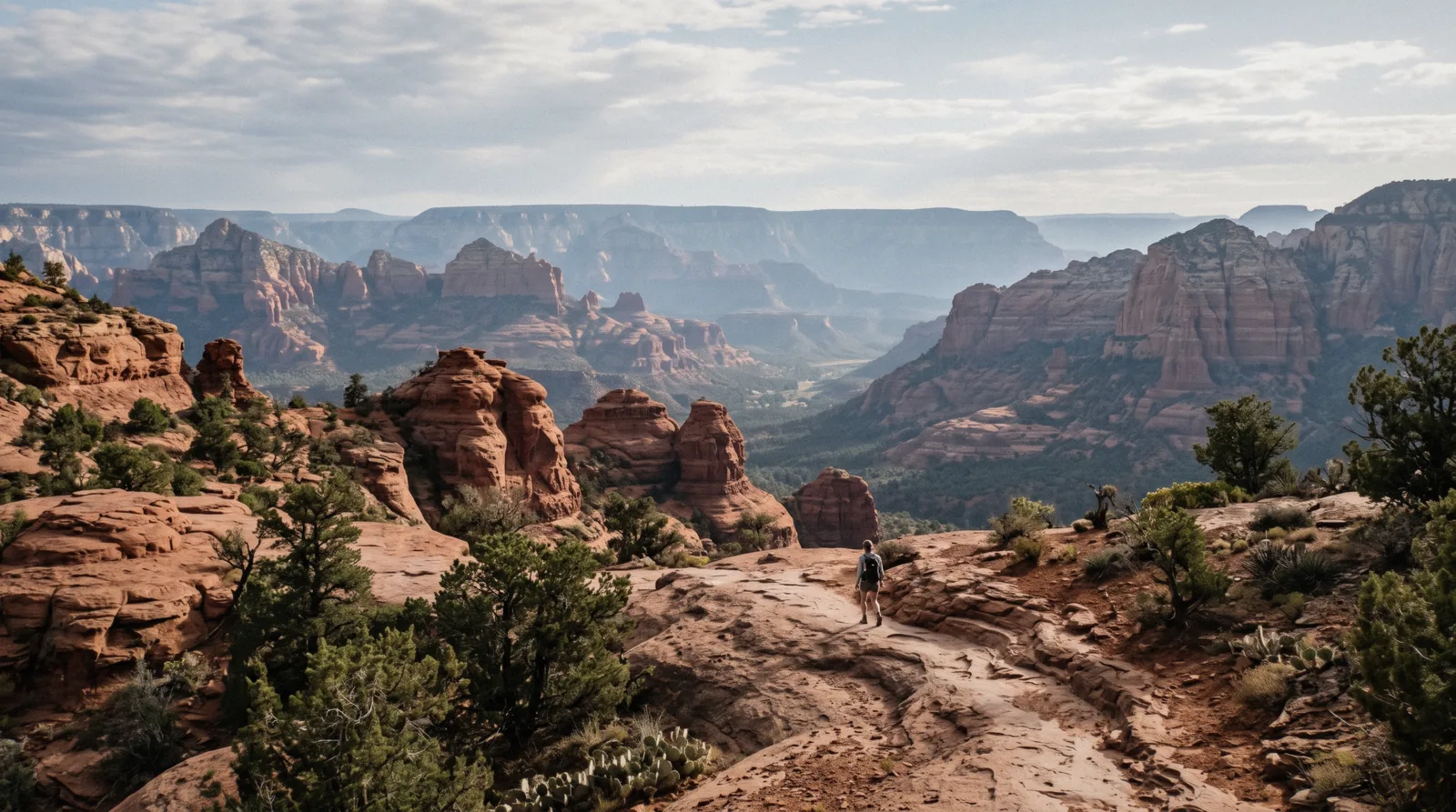
Cathedral Rock lit by the last of the evening sun above Oak Creek at Red Rock Crossing, Sedona Arizona

Sedona, Arizona: An Independent City Guide

Nothing in Sedona, Arizona charges admission, and almost everything charges for parking. That single quirk is what trips up a first visit here, so this guide starts with the trailhead lot, the $5 pass and the free Thursday-to-Sunday shuttle, then tells you which red rock is worth your one good morning.

Quick answer What you pay, where you park, and how many days the red rocks need

Read on in Q3 2026: there is no entry fee for Sedona or for its trails, but parking at most Forest Service trailheads costs $5 a day, $15 a week or $20 a year on a Red Rock Pass, and the two state parks charge instead of it, $20 per vehicle at Slide Rock and $10 an adult at Red Rock State Park. Three nights is the honest minimum: one morning on a rock, one day up Oak Creek Canyon, and one long day out to the Grand Canyon or the wine towns.

Key takeaways

Sedona in five decisions: which rock, what it costs, where you park, where you sleep

The five hubs of this guide, each with the three facts that settle it.

Things to do

Every rock, trail, canyon and in-town sight on one numbered list, mapped and priced: the full ranked list of what to do in Sedona.

Decides what earns your one good morning

Fees and passes

What you actually pay in a town with no admission gate: the Red Rock Pass at $5, $15 and $20, Slide Rock at $20 per vehicle, and the federal pass that replaces one but not the other.

Decides which pass to buy before you drive out

Getting around

Two highways, a string of roundabouts and no local bus network: how the town actually works by car, and where the free shuttle goes.

Decides whether you need a car at all

Day trips

Eight destinations with the drive at one end and a fee at the other: the Grand Canyon, Antelope Canyon, Jerome and the rest compared.

Decides which long day is worth it

Where to stay

Four areas, and the drive from each to the trailheads you came for: Uptown, West Sedona, the Village and the canyon compared.

Decides how far you drive at 6:30 am

Where in Sedona you actually go

The town is a strip along two highways, and everything you came for is off one of them. These six places are the geography of a first visit.

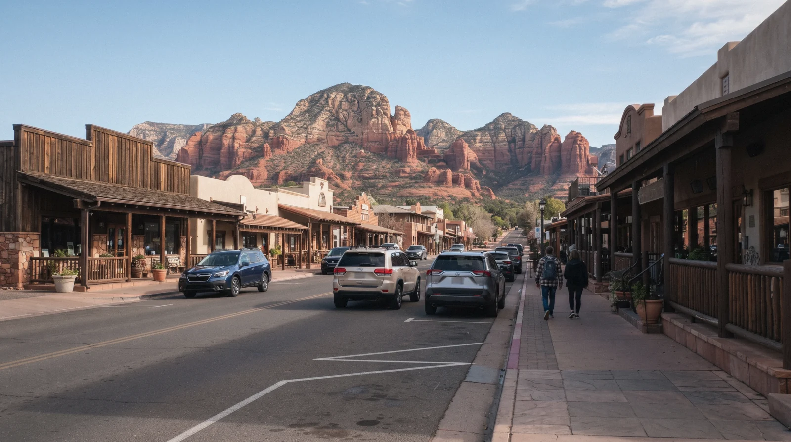
Main street of Uptown Sedona in the morning with red rock closing the end of the street, Sedona Arizona

Uptown and the Chapel

The strip of shops, galleries and jeep-tour desks at the Y junction, with the Chapel of the Holy Cross a few minutes south on its own spur. It is where the coaches stop, where the parking meters are, and where you will eat if you have not planned dinner.

  • Paid public parking, and the only sidewalk district in town
  • Tlaquepaque sits at the bottom of the hill on SR-179
Day one, on foot
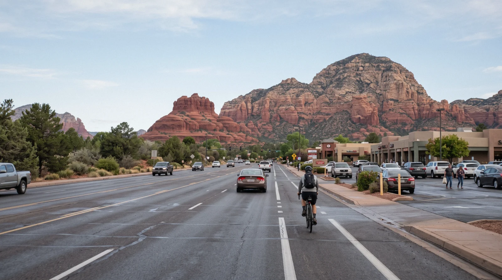
Arterial road through West Sedona with Coffee Pot Rock on the skyline, Sedona Arizona

West Sedona and Dry Creek

The long residential and commercial stretch of SR-89A, and the road that leads to the trailheads most people have come for: Devil's Bridge, Soldier Pass, Boynton Canyon and Doe Mountain. Groceries, water and the cheapest breakfast are here too.

Every morning you plan to hike
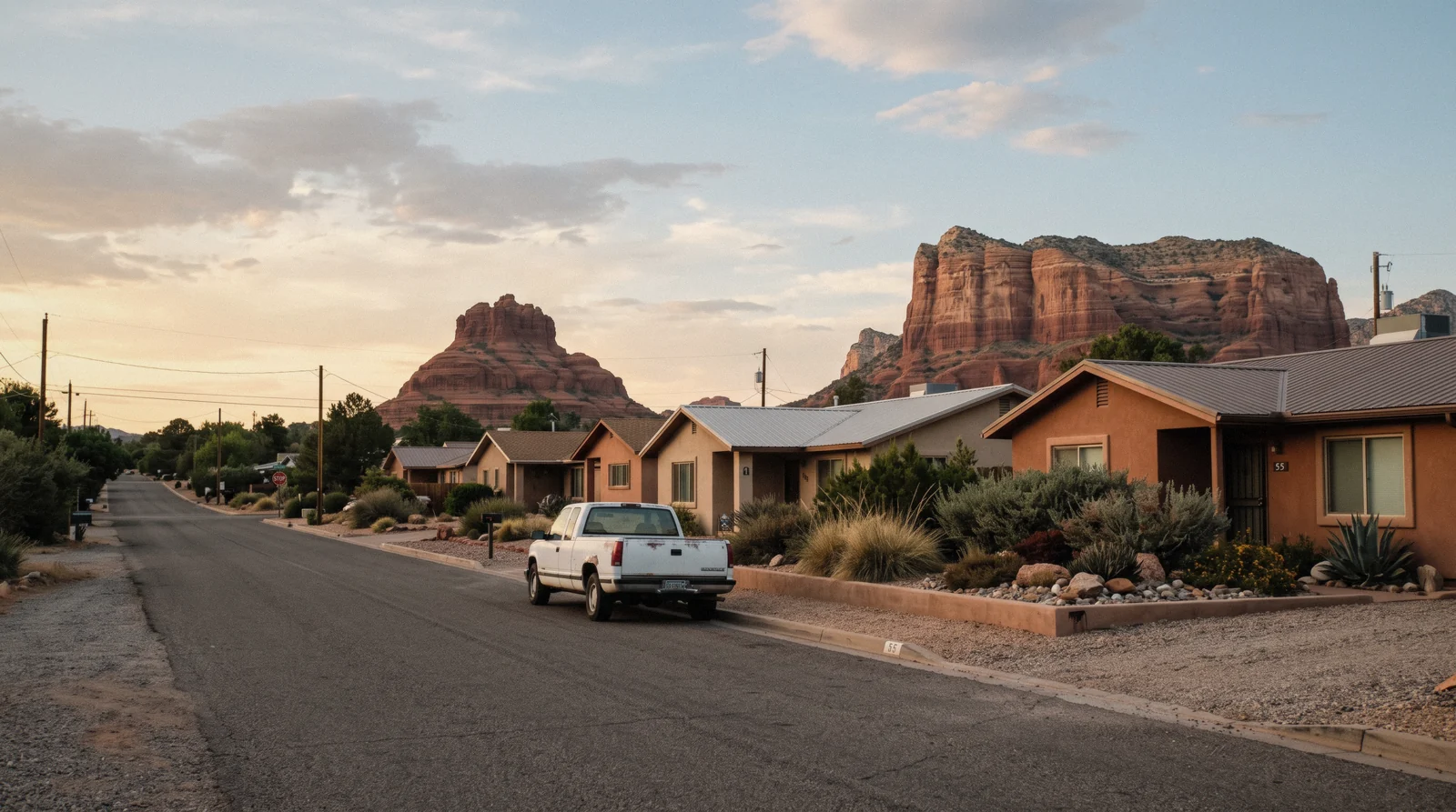
Quiet street in the Village of Oak Creek with Bell Rock behind the rooftops, Sedona Arizona

The Village of Oak Creek

Eight miles south on SR-179, under Bell Rock and Courthouse Butte, with the flattest walking in the area on the Bell Rock Pathway. Quieter and usually cheaper than town, and the trade is the drive back up for dinner.

A first day that needs an easy walk
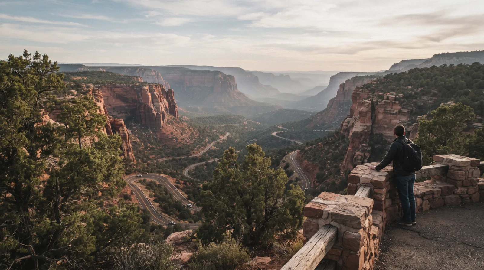
Oak Creek Canyon overlook on Highway 89A with the switchbacks below, Sedona Arizona

Oak Creek Canyon

North of town the red rock closes into a canyon with a creek, sycamores and pines, one road through it and a string of fee picnic sites along the water. Slide Rock and West Fork are both in here, and so is the fall colour.

A half day, and the coolest air in summer
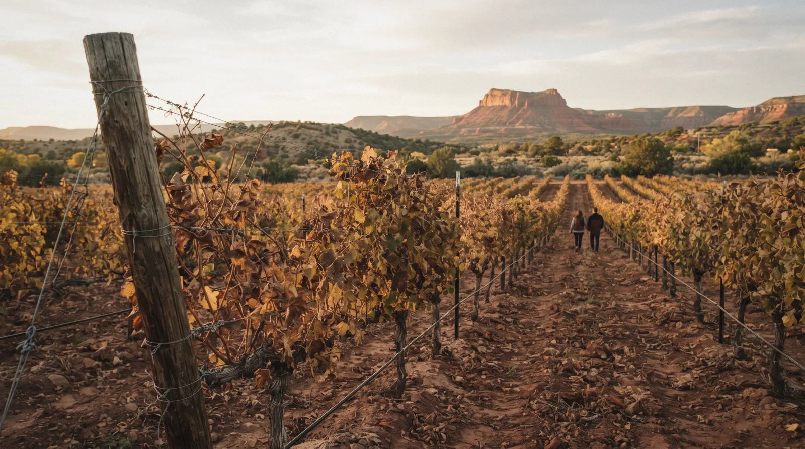
Vine rows on the red soil of the Verde Valley near Cornville with a red mesa behind, Sedona Arizona wine tours

The Verde Valley

Down out of the red rock to Cottonwood, Cornville and Clarkdale: the vineyards, the Verde Canyon Railroad and Tuzigoot on its hill, with Jerome stacked on the mountainside above them.

The afternoon after a hard morning
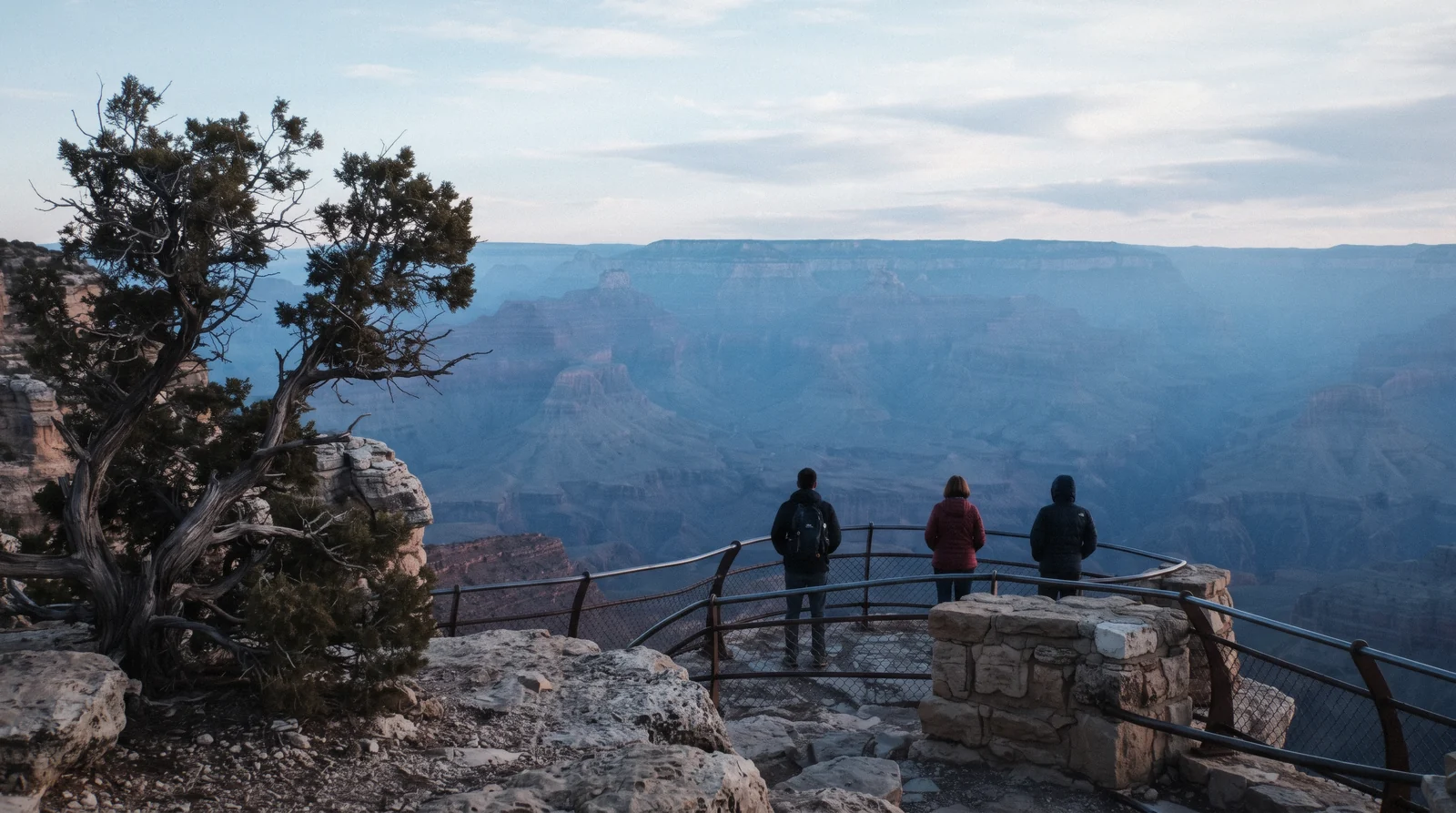
South Rim of the Grand Canyon from Mather Point in early morning haze, day trip from Sedona Arizona

Out of the county

The two long days that people build a Sedona trip around: the Grand Canyon South Rim at 119 miles, and Antelope Canyon and Horseshoe Bend on the Navajo Nation, which is further, stricter and an hour out of step with your watch.

One full day each, not both

The red rocks, in the order the roads take you

Sedona has no centre and no circuit. Everything sits off SR-179 to the south or SR-89A to the west and north, and the trailhead lengths below are the Forest Service's own published figures, read on in Q3 2026.

South, along SR-179

Coming up from Phoenix you meet the rocks before the town. Bell Rock and Courthouse Butte stand either side of the road at the Village of Oak Creek, and the Bell Rock Pathway that links them is the one genuinely easy walk in the area: 3.5 miles one way, 185 feet of elevation change, a wide graded surface. Further up, Cathedral Rock is signposted off Back O' Beyond Road, and its trail is the opposite of the pathway, 1.1 miles round trip with 669 feet of climbing and a slickrock chute the Forest Service rates strenuous. The Chapel of the Holy Cross is a ten-minute stop on a spur between them, free, open 9:00 am to 4:45 pm, with a lot so small that the overflow walks up the hill.

West, along SR-89A and Dry Creek Road

The Dry Creek side holds the trails people fly in for. Devil's Bridge is the arch everyone photographs, and the number that matters is not the trail length but the road: 1.6 miles round trip if you have a high-clearance vehicle and can reach the upper trailhead, 4.0 miles from Mescal, 5.8 miles from Dry Creek Vista. Soldier Pass is four miles round trip with 641 feet of gain and takes in the sinkhole, the Seven Sacred Pools and the cave. Boynton Canyon runs six miles out and back with 931 feet of gain into a shaded canyon, and Doe Mountain climbs 542 feet in 0.7 miles to a flat mesa top with the best view-per-effort ratio in the area.

North, into Oak Creek Canyon

The canyon is the other Sedona: cooler, greener, with a creek and a single road. Slide Rock State Park charges $20 per vehicle for one to four adults and closes its gate when the lot fills on a summer weekend. West Fork is the flattest good walk in the region, three maintained miles of crossings between canyon walls, and it is a concessionaire fee site, so a Red Rock Pass or a federal pass will not get you in. The overlook at the top of the switchbacks is where the drive earns its reputation.

In town, when the rock is too hot

Midday in June and July gives you a 91°F average high and no shade on any of the slickrock, which is when the indoor list matters: Tlaquepaque for galleries and cool courtyards, the Sedona Heritage Museum at $10 for how the orchards became this, and the Amitabha Stupa, free and quiet, five minutes off the highway.

Which rock to walk to, if you only get one morning

Lengths, gain and the Forest Service's own difficulty rating, from each trail's official page on fs.usda.gov, read on in Q3 2026. Parking is $5 a day on a Red Rock Pass unless the row says otherwise.

Trail Round trip Gain Forest Service rating Shuttle serves it
Bell Rock Pathway 3.5 mi one way 185 ft Easy, family-friendly No
Cathedral Rock 1.1 mi 669 ft Strenuous Yes, Thu to Sun
Devil's Bridge, from Mescal 4.0 mi Not stated for this approach Moderate Yes, Thu to Sun
Soldier Pass 4.0 mi 641 ft Moderate Yes, Thu to Sun
Doe Mountain 1.3 mi 542 ft Moderate No
West Fork 6.0 mi Minimal, creek grade Easy, 13 crossings No, $13 per vehicle

The Forest Service publishes no elevation-gain figure for the Mescal or Dry Creek Vista approaches to Devil's Bridge, only for the short high-clearance route, so that cell stays empty rather than borrowing a number from a hiking app. Full detail, and what to do when the lot is full, is on the hiking trails index.

What people book first in Sedona

Cards link to the operator's own page, where the calendar shows what is still open for your date. Prices are the platform's listed figures in USD, read on in Q3 2026, and each card carries what you could do instead without it.

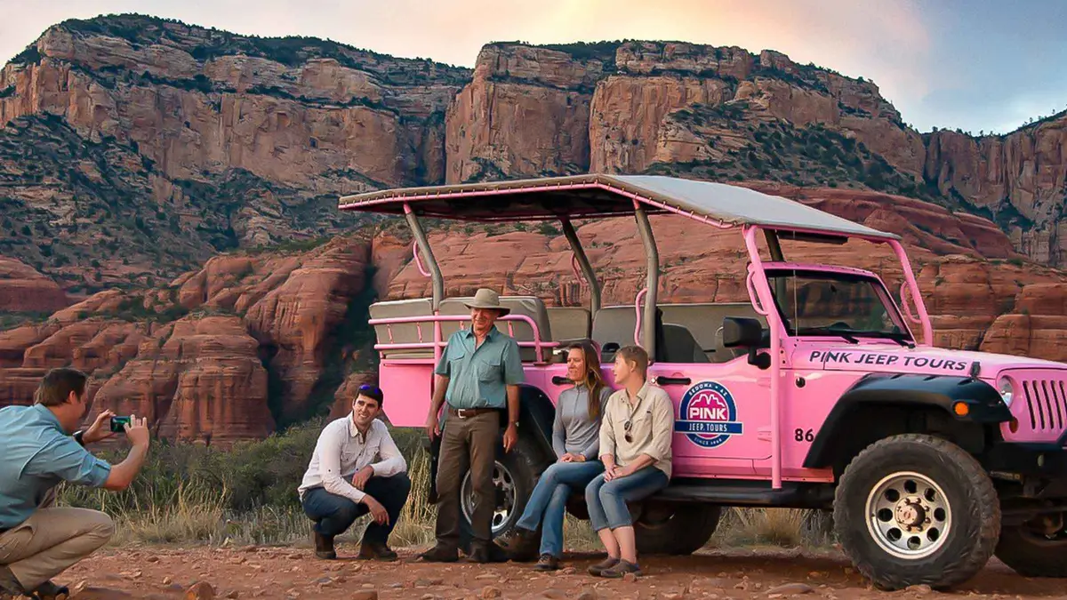
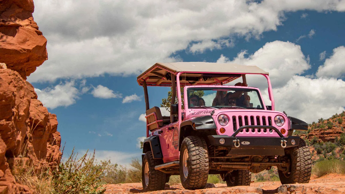
Pink Jeep parked at a red rock overlook on a Sedona jeep tour from $111.50

Sedona: Red Rock Range Pink Jeep Tour

★★★★★ ★★★★★ 4.8(113 reviews)· 2 hours

A short Jeep run on mild dirt roads west of town to open panoramic viewpoints over Sedona's red rocks, including Thunder Mountain and Bradshaw Overlook. Suits first-time visitors who want scenery without a rough ride.

Check Availability
Jeep overlooking forested Mogollon Rim scenery on a Sedona jeep tour from $129.17

Sedona: Scenic Rim Pink Jeep Tour

★★★★★ ★★★★★ 4.8(306 reviews)· 2.5 hours

A jeep run up toward the Mogollon Rim mixing high-desert forest with lowland views, built around photo stops rather than off-roading. Suits travelers who want more elevation and variety than a short in-town loop.

Check Availability
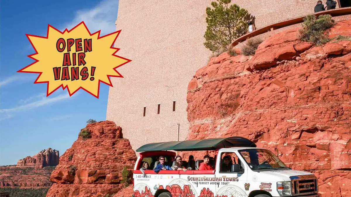
Open-air van stopped in uptown Sedona on a sightseeing and shopping tour from $126 Most-reviewed sightseeing tour on this page (212 reviews)

Sedona: Open-Air Van Tour with a Local Guide and 6 Stops

★★★★★ ★★★★★ 4.8(212 reviews)· 5.5 hours

A longer open-air van circuit with six stops mixing sightseeing, shopping and food rather than a single scenic loop. Suits visitors who want to break up the drive with time on foot at each stop.

Check Availability
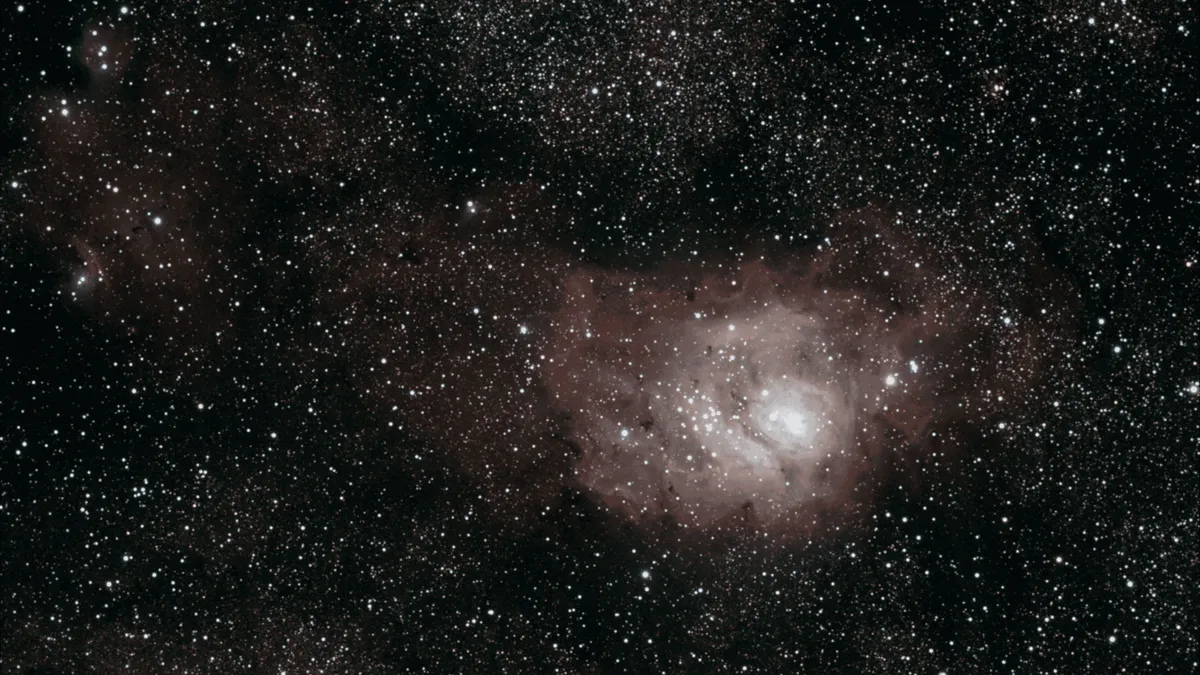
Telescope aimed at the night sky on a Sedona stargazing tour from $125

Sedona: Stargazing Tour with Telescopes and Video Astronomy

★★★★★ ★★★★★ 4.7(30 reviews)· 1.5 hours

A stargazing session using dedicated telescopes and live video astronomy so the group can see the same view on a screen, run by working astronomers. Suits anyone who wants a closer, narrated look rather than naked-eye stargazing.

Check Availability
Tour van parked at a Grand Canyon South Rim overlook on a day trip from Sedona from $191.14

The Grand Canyon Classic Tour From Sedona, AZ

★★★★★ ★★★★★ 4.9(392 reviews)· 11 hours

An 11-hour van run from Sedona to the Grand Canyon's South and East Rims, with stops at the Watchtower Observatory and the historic Cameron Trading Post along the way. Suits a first Grand Canyon visit where you would rather not drive the 2-plus hours each way yourself.

Check Availability
Helicopter flying over red rock wilderness at sunset near Sedona from $570

Secret Wilderness Sunset - 45 Mile Helicopter Tour in Sedona

30 minutes

A 30-minute sunset helicopter run over the Munds Mountain and Secret Wilderness areas and Gunsight Pass, covering more than 45 miles of terrain most visitors never reach on foot. Suits travelers who want the aerial perspective specifically at sunset rather than midday. A new listing on GetYourGuide with no reviews yet.

Check Availability

Prices, ratings and details are the platform's own, checked in Q3 2026; dollar figures are the listed prices — the platform bills in your account's currency.

How many days Sedona needs

Built from the walks and drives on this site, counting one rock per morning and one long drive per day. The fees are the official ones; the day shapes are our routing, not an authority's.

Nights What fits What you miss Rough fees
1 One rock at sunrise, the Chapel, Uptown, Airport Mesa at sunset The canyon entirely, and every day trip $5 pass, $3 overlook
2 Add Oak Creek Canyon: West Fork or Slide Rock, plus the drive to the overlook The Grand Canyon, the wine towns, the ruins $5 pass, $13 or $20 park fee
3 Add one long day out: Grand Canyon, or Jerome with the Verde Valley Antelope Canyon, Flagstaff's monuments Add $35 per vehicle, or $10 to $139
4 or more Antelope Canyon or Flagstaff, a second rock morning, an unhurried afternoon Very little a first visit needs Add $15 permit plus the tour

Three nights is the shortest stay that does not force a choice between the rocks and the canyon. The one-day plan exists because people arrive on a road trip with exactly that, and it is honest about what it drops.

Turn it into days

Each plan puts the timed things in the hour they work best: the rock before the heat, the canyon after lunch, the overlook at sunset.

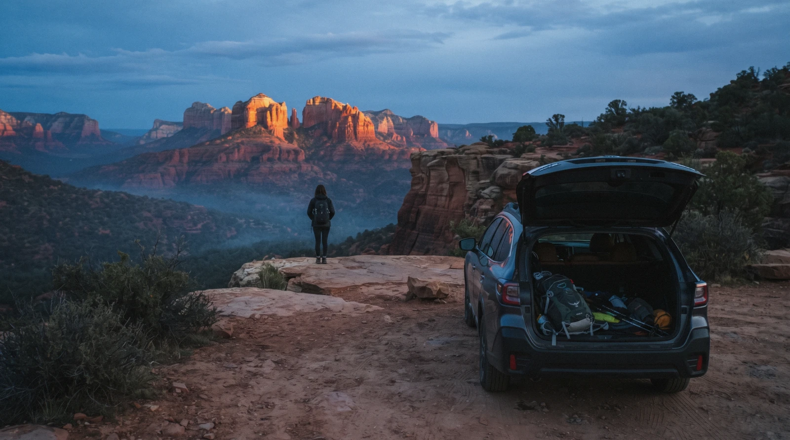
First light on a red rock overlook above Sedona with a parked car and a daypack, one day in Sedona Arizona

Sedona in one day

A sunrise rock, the Chapel, lunch in Uptown and Airport Mesa at sunset, with the drive times between them.

One rock, one view, no canyon
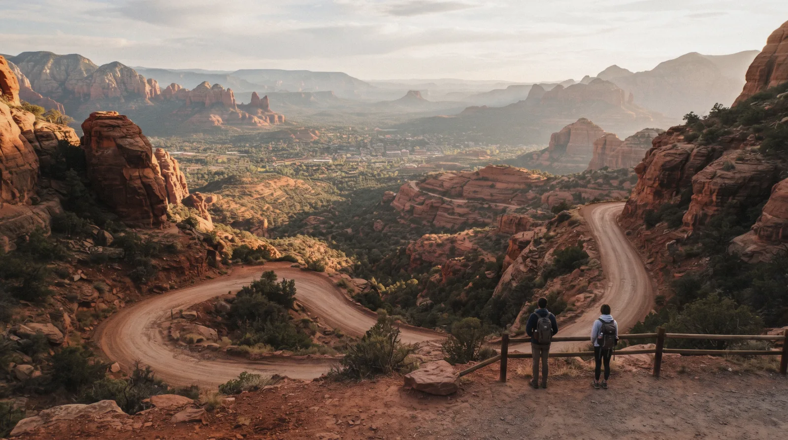
Schnebly Hill road curving down through red rock above the town, two days in Sedona Arizona

Sedona in two days

Day one on the rocks, day two up the canyon to West Fork or Slide Rock and the overlook at the top.

Adds the creek and the shade
Wide view north towards Oak Creek Canyon and the Mogollon Rim from a red rock bench, three days in Sedona Arizona

Sedona in three days

The two Sedona days plus one long day out, and the argument for which long day to take.

The shortest stay without a compromise

Eating here, and the two meals that need planning

Sedona's restaurants sit along the two highways rather than in a walkable centre, so both ends of the day take a decision. Where this site names a venue it prints the published list it came from; where no citable list exists it describes the street instead.

Breakfast is the meal that decides your morning. A 7:00 am trailhead means eating before the town wakes up, and the practical answer is a supermarket in West Sedona the night before, because the trails themselves have nothing at all, no water, no shade and no kiosk. Carry two litres a person in summer: the National Weather Service's own guidance for outdoor activity in this heat is one to two litres an hour, which is more than most day packs hold.

Dinner is the other one. A town of this size fills its dining rooms in high season, and the reservation you make on the morning of is usually for 8:45 pm or nothing. Uptown has the most tables and the worst parking; West Sedona has the everyday places locals use; the Village of Oak Creek has enough to avoid the drive back up. The full breakdown, meal by meal and with the sourced venues, is on where to eat.

The one regional thing worth building an afternoon around is the Verde Valley wine trail down in Cornville, Cottonwood and Clarkdale. Tastings are a short drive but a serious one: there is no public transport between the wineries, which is the whole reason the driven tours from $106 exist.

The dates that change the trip

Four windows matter here, and three of them are published by an agency. Climate figures are 30-year averages from the Open-Meteo ERA5 archive for 34.87 N, -111.76 W over 1995 to 2024, computed on in Q3 2026.

The monsoon runs 15 June to 30 September, a fixed calendar window the National Weather Service set in 2008, and August is its busiest month. The rain itself is not the problem: it is that a storm miles away can send water down a canyon you are standing in. The NWS's Flagstaff office names Oak Creek and Sycamore Canyons explicitly in its flash-flood language, and warns of raging currents in side canyons and narrow slots.

That makes West Fork and Slide Rock the two places to check a forecast for, not the open slickrock.

MonthAverage highAverage lowRainRain days
April68.5°F (20.3°C)43.2°F (6.2°C)23.9 mm3.6
May78.3°F (25.7°C)52.2°F (11.2°C)9.9 mm2.9
July91.5°F (33.0°C)67.4°F (19.7°C)30.2 mm6.4
August88.6°F (31.5°C)65.3°F (18.5°C)30.6 mm6.1
October72.8°F (22.7°C)49.4°F (9.6°C)29.8 mm4.1
January50.7°F (10.4°C)30.4°F (-0.9°C)54.2 mm6.0

Fall colour in Oak Creek Canyon is the one week the canyon road becomes a queue. It is driven by the sycamores and maples along the creek rather than by aspen, so it comes later than Flagstaff's, and no agency publishes a peak date in advance. Plan the West Fork walk for a weekday if you are here in late October or early November, and expect the Call of the Canyon lot to close when it fills.

Winter is the quiet secret and the cold one. January averages a 50.7°F high and a 30.4°F low, snow settles on the red rock a few times a season, and every trail is open. It is also the only time of year when the popular lots are not the day's first problem. The seasonal detail is on when to visit.

What actually goes wrong here

Not queues, which is what a European city guide would list. In Sedona the four failures are a lot, a pass, the heat and a watch.

The lot was full. The trailhead lots at Cathedral Rock, Devil's Bridge and Soldier Pass are small, and roadside parking on those approaches is restricted. The free shuttle exists precisely for this, and it runs Thursday to Sunday only, 7:00 am to 5:30 pm, with 15 to 45 minutes between pickups. No authority publishes whether those lots are closed to cars while the shuttle runs, so plan on the shuttle and treat a space as luck.

What to do on a Monday, when there is no shuttle at all, is on parking in Sedona.

The pass was the wrong pass. A Red Rock Pass covers most Forest Service sites; a federal America the Beautiful pass covers most of the same ones; and five concessionaire sites, including West Fork and Crescent Moon, accept neither and sell their own. The state parks are outside all of it. The whole map of what covers what is on the Red Rock Pass page.

The heat. This is a 4,500-foot desert town, not a mountain one, and the slickrock has no shade at any hour. The NWS advises strenuous activity between 4:00 and 7:00 am in serious heat, which in July and August means the trail before breakfast or not at all. Hiking safety carries the water arithmetic and the turn-around rules.

The clock. Arizona does not observe daylight saving, but the Navajo Nation does, so a tour meeting at 9:00 am at Antelope Canyon can be an hour earlier than your phone suggests for most of the year. Confirmed with the Navajo Nation President's office. It is the single most expensive mistake on this site, because those tours do not wait.

Sedona month by month

Average daily high in Celsius with the Fahrenheit reading beneath, from the Open-Meteo ERA5 reanalysis for 34.87 N, -111.76 W over 1995 to 2024, computed on in Q3 2026. The bands are our reading of those figures against the National Weather Service's monsoon window and heat guidance.

Winter highs sit near 10°C and the trails stay open; the lows dip below freezing overnight, which matters if you are starting at first light. The month-by-month detail is on the best time to visit.

Getting here, and getting around once you have

There is no airport you can fly into, no local bus network, and no trailhead within walking distance of a hotel. All the figures below come from the operators' own pages, read on in Q3 2026.

Almost everyone arrives through Phoenix Sky Harbor. A scheduled shuttle runs 14 round trips a day from the airport to Sedona and starts at $69 one way when booked online; the same operator runs a seasonal Flagstaff service from March to October from $61. Renting a car at the airport and driving up is the other standard answer, and the drive is the one figure nobody official publishes, so the Phoenix page prints the route and labels the time as our own estimate.

Way inFare or feeWhat it buys youWhere it leaves you
Scheduled airport shuttleFrom $69 one way14 daily round trips, no drivingSedona, then no car
Rental car from PhoenixNot published by any authorityEvery trailhead, every canyonWherever you want at 6:30 am
Verde Shuttle bus$2 one wayCottonwood to Sedona, roughly hourlyThe highway, not a trailhead
Sedona trailhead shuttleFreeFive trailheads, Thu to Sun, 7:00 am to 5:30 pmThe trailhead itself

Once you are here, the geography is two highways meeting at the Y in Uptown, with a run of roundabouts along SR-179 that visitors either love or curse. Nothing is far in miles, and everything is far in parking. The practical pattern that works is to treat the free shuttle as your morning transport Thursday to Sunday and your car as the afternoon and evening one, which is the reverse of how most people plan it. Getting around has the rest, including what a Monday looks like without the shuttle.

What a day in Sedona actually costs

The town has no admission gate, so the spending is parking, fees and food. Every figure is the official one from the managing agency, read on in Q3 2026.

A hiking day for two people costs the price of parking and nothing else: $5 for a daily Red Rock Pass, or nothing at all if you take the shuttle. A canyon day costs $13 or $20 at the gate depending on which side of the creek you choose. A day trip is the expensive one, $35 per vehicle at the Grand Canyon or $15 a head in permits before you have paid a tour operator anything.

And the invisible cost is the tax: Sedona's combined sales tax is 9.85% in the Yavapai County half of town and 10.40% in the Coconino half, with the city's 3.5% lodging tax stacked on hotel bills.

What you pay forOfficial priceCoversWhere it is not valid
Red Rock Pass, daily$5Parking at standard Forest Service fee sitesState parks, the five concessionaire sites
Red Rock Pass, weekly / annual$15 / $20The same sites for 7 days / a yearSame exclusions
Slide Rock State Park$20 per vehicle, 1 to 4 adultsEntry and the swim areaForest Service trailheads
Red Rock State Park$10 adult, $5 youth 7 to 13Entry, trails, ranger walksSwimming, which is not allowed here
Montezuma Castle and Tuzigoot$10 for 7 daysBoth monuments, one ticketPalatki, which reserves separately

The one fee that catches people is West Fork. It is a concessionaire site inside Oak Creek Canyon, so neither a Red Rock Pass nor a federal America the Beautiful pass admits you, and the same is true at Crescent Moon, Grasshopper Point, Beaver Creek and Lower Lake Mary. The fees index lists all five, and what Sedona costs turns the table above into daily budgets.

Out of the county for a day: the three drives worth paying to skip

Long-day tours from Sedona, with the platform's listed price in USD read on in Q3 2026. Each card names what the same day costs if you drive it yourself.

Tour van parked at a Grand Canyon South Rim overlook on a day trip from Sedona from $191.14

The Grand Canyon Classic Tour From Sedona, AZ

★★★★★ ★★★★★ 4.9(392 reviews)· 11 hours

An 11-hour van run from Sedona to the Grand Canyon's South and East Rims, with stops at the Watchtower Observatory and the historic Cameron Trading Post along the way. Suits a first Grand Canyon visit where you would rather not drive the 2-plus hours each way yourself.

Check Availability
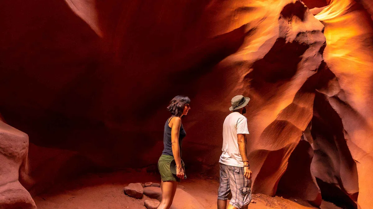
Light beams inside Antelope Canyon on a day trip from Sedona from $425

From Sedona: Antelope Canyon and Horseshoe Bend Tour

★★★★★ ★★★★★ 5.0(59 reviews)· 10 hours

A 10-hour day trip pairing Antelope Canyon with Horseshoe Bend and a gourmet picnic lunch at the Glen Canyon Dam overlook. Suits travelers who want both signature Page-area stops covered in one guided day rather than two separate bookings.

Check Availability
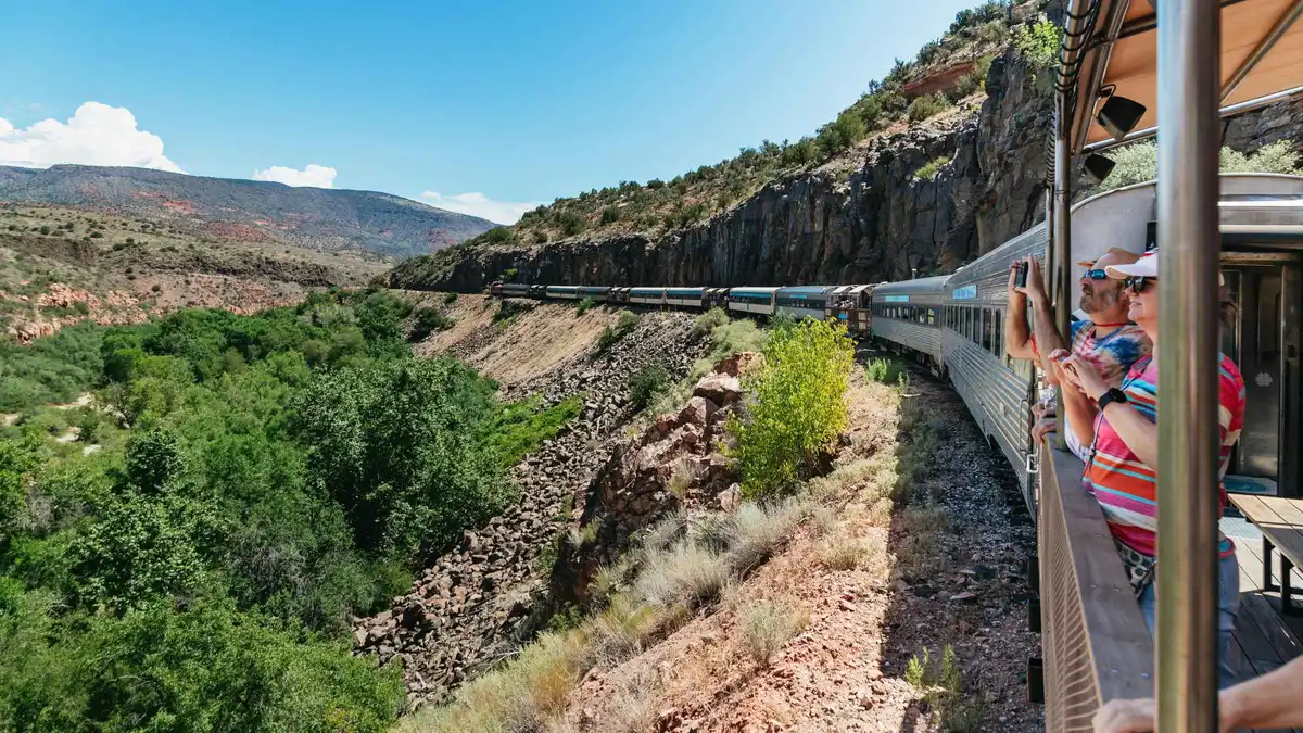
Vintage train winding through red rock canyon walls on the Verde Canyon Railroad from $186

Clarkdale: Verde Canyon Railroad Train Ticket

★★★★★ ★★★★★ 4.8(405 reviews)· 4 hours

A 4-hour round-trip train ride from Clarkdale through the Verde Canyon to Perkinsville, with indoor seating plus open-air viewing cars and an on-board champagne toast. Suits travelers who want a scenic ride rather than a hike, including those who cannot manage trail terrain.

Check Availability
Vineyard rows in the Verde Valley on a Sedona wine tour from $109

Sedona: Visit 4 Award Winning Vineyards in the Verde Valley

★★★★★ ★★★★★ 4.8(20 reviews)· 5.5 hours

A 5.5-hour run to four award-winning Verde Valley wineries with a picnic lunch included, aimed at travelers who want several tastings without driving themselves. Suits wine-focused groups more than a quick single-stop tasting.

Check Availability

Prices, ratings and details are the platform's own, checked in Q3 2026; dollar figures are the listed prices — the platform bills in your account's currency.

Pick an area before you pick a hotel

In a town where the morning is decided by a drive to a lot, the address matters more than the room.

West Sedona is the closest base to the Dry Creek trailheads and to the shuttle's western stops, and it has the groceries. Uptown is the walkable district and the busiest traffic. The Village of Oak Creek is eight miles south under Bell Rock, quieter and usually cheaper, with the easiest walking on its doorstep. Oak Creek Canyon puts you among the pines with a creek outside and a drive to everything else. Where to stay compares all of them by drive time to the trailheads, and the neighbourhoods index explains what each area is actually like at 8:00 pm.

Two costs belong in the decision. The city adds a 3.5% lodging tax on top of a combined sales tax near 10%, and the county line runs through town, so two hotels a mile apart can bill different rates. And staying down in Cottonwood or up in Flagstaff saves money at the cost of a drive you will make twice a day, which is the argument the guide post Sedona or Flagstaff settles.

Six questions before you go

The things visitors ask before they book anything, answered from the pages that own them.

Do I need a Red Rock Pass?

Only to park at Forest Service recreation sites, and it costs $5 a day, $15 a week or $20 a year. You do not need one to drive through town, to park in Uptown, or to enter either state park, which charge their own fees instead. What the pass covers

Is the free shuttle running today?

It runs Thursday to Sunday, 7:00 am to 5:30 pm, all year, to Cathedral Rock, Little Horse, Soldier Pass, Dry Creek Vista and Mescal. No reservation, no fare, 15 to 45 minutes between pickups. Stops and hours

Where do I actually park?

The popular trailhead lots are small and fill early, and roadside parking near them is restricted. Uptown has paid public parking; the shuttle park-and-ride lots are free. Lot by lot

How many days do I need?

Three nights covers a rock morning, a canyon day and one long drive out. Two forces a choice; one is a stop, not a visit. What each length buys

Can I hike here in July?

Yes, before about 8:00 am. July averages a 91.5°F high with no shade on the slickrock, and the National Weather Service advises strenuous activity between 4:00 and 7:00 am in serious heat. Heat, water and turn-around times

Is Sedona worth visiting?

For the geology and the walking, yes, and it is one of the few places where the best things cost only parking. It is also small, busy and expensive to sleep in, and the vortex tourism is not for everyone. The honest answer

Sedona questions people ask before they arrive

Is there an entrance fee for Sedona, Arizona?

No. Sedona is a town, not a park, and there is no fee to enter it or to walk its trails. What you pay for is parking at Forest Service recreation sites, $5 a day on a Red Rock Pass, and entry at the two Arizona State Parks, which charge separately. If you plan to ride the free trailhead shuttle instead of driving, a Sedona day can genuinely cost nothing.

What is the closest airport to Sedona?

Sedona's own airport on Airport Mesa has no scheduled passenger service, so visitors arrive through Phoenix Sky Harbor and drive or take a scheduled shuttle that starts at $69 one way. Flagstaff Pulliam is closer but has far fewer flights, and a seasonal shuttle from March to October runs from $61. Both routes and what each costs are on getting here from Phoenix, and the scenic flight cards explain what the local airport does do.

Do you need a car in Sedona?

For most of the week, yes. There is no local bus network, and no hotel is within walking distance of a trailhead. The exception is Thursday to Sunday, when the free shuttle reaches five trailheads, and any day you book a guided tour that collects you. Getting around sets out the car-free version of a Sedona trip and where it breaks down.

What is the best month to visit Sedona?

April, May and October, on the 30-year averages: highs from 68°F to 78°F, the least rain of the year in May, and every trail comfortable all day. Those are also the busiest months on the trails, which is the trade. July and August average near 90°F with the monsoon overhead, and January is quiet with highs near 51°F. The full month-by-month table is on the best time to visit.

Is Sedona good for families with young children?

Yes, if you pick the flat walks and the water. The Bell Rock Pathway is wide and nearly level, West Fork is a creek walk rather than a climb, and Slide Rock is a natural water slide at $20 per vehicle. The rocks that photograph best, Cathedral Rock and Devil's Bridge, are the ones with exposure and a scramble. Sedona with kids sorts the list by age.

How far is the Grand Canyon from Sedona?

The National Park Service's own directions page puts the South Rim at 119 miles from Sedona via SR-89A, I-40 and SR-64, which is the only Sedona-origin figure any authority publishes. Entry is $35 per vehicle for seven days with no timed-entry system at present. Whether to drive it or book one of the coach days from $191 is settled on the Grand Canyon page.

Sort the parking before you sort anything else

The tours compared on this site all include the drive and the parking, which is the part of a Sedona morning that goes wrong. Live availability for your dates sits on the operator's own page.

Prices and availability are set by the operator and confirmed at checkout. Official ticket and pass links on this site are never affiliate links.

See the tours compared

Sedona, Arizona, United States at a glance

Tourist office
331 Forest Road
Second office
Red Rock Ranger District Visitor Center, 8375 State Route 179, Sedona
City info line
+1 928-282-7722
Coordinates
34.8697, -111.761
Time zone
MST (UTC-7, no daylight saving)
Currency
US dollar ($)

The office, phone and email above belong to the city's own visitor service, published on the official tourism site and checked on 2026-09-09 — they are not this site's contact details. To reach us, use the contact page.