 Sedona City Guide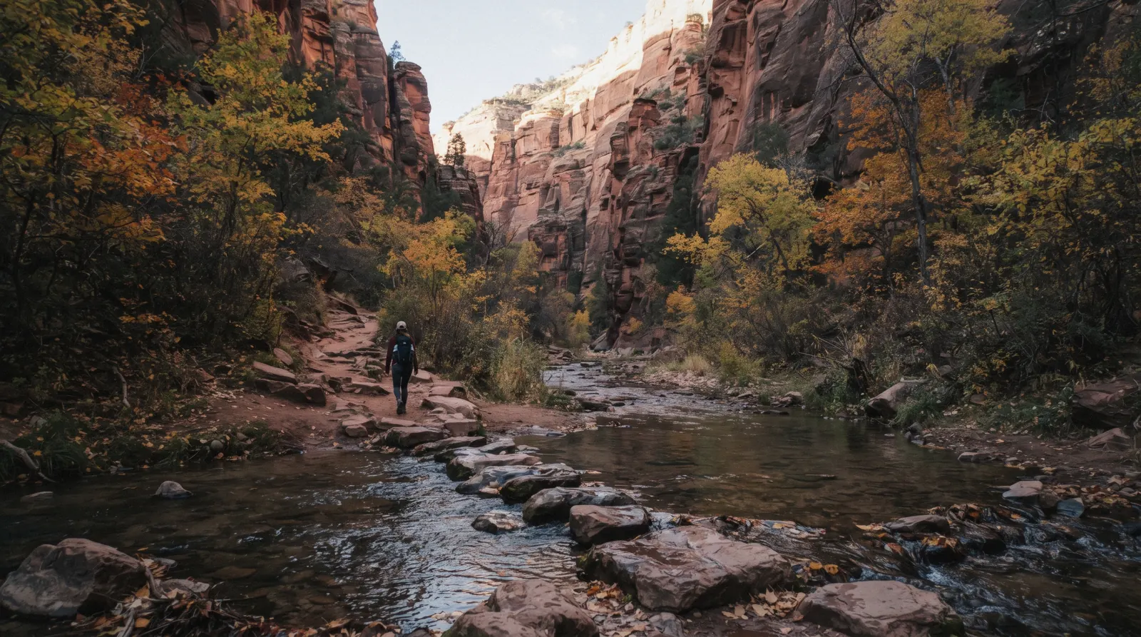
West Fork Trail
West Fork Trail, officially Trail No. 108, is the most-walked hike in Oak Creek Canyon, and nearly every guide to it repeats the same error: it treats the Red Rock Pass as the fee. It is not. West Fork is entered through the Call of the Canyon Picnic Site, a concessionaire-run fee site with its own separate day-use charge. This page covers that fee correctly, the creek crossings, where the maintained three-mile trail actually ends, the fall-colour crowd and the lot that closes when full, and the flash-flood rule that applies to the whole canyon, part of how a canyon hike fits against everything else Sedona offers.
Quick answer The fee, the crossings, where the trail ends, in three lines
West Fork Trail's maintained, marked section runs the first three miles, crossing Oak Creek a number of times through a narrow, forested canyon. Entry is through the Call of the Canyon Picnic Site, which charges its own $15-a-day fee. The Red Rock Pass does not cover it.
Key takeaways
- The Call of the Canyon fee is separate from the Red Rock Pass; bring cash or a card for the $15 day-use fee at the trailhead itself, not a forest pass
- The lot is small and backs up onto Highway 89A when full. See Oak Creek Canyon for the road it sits on and the other fee sites along the same drive
- A guided nature hike is the way to walk this canyon with an interpreter if the Forest Service's bare trail description leaves you wanting more context
Key facts
Opening hours
| Trailhead and picnic site | Not stated as a fixed gate hour–Not stated |
|---|
Closed Not stated on the fetched Forest Service trail page
Admission
- Adult
- $15 per vehicle per day (up to 5 people) at the Call of the Canyon fee station
- Reduced
- $4 walk-in fee, no vehicle; $20 weekly pass; $50 annual pass
- Free
- Not stated. Call of the Canyon is a concessionaire fee site with no free-entry window published
Planning it
- Time needed
- Not stated by the Forest Service; our routing: 2-3 hours for the maintained first three miles round trip
- Book ahead
- Optional — walk-up usually fine
- Address
- Call of the Canyon Picnic Site, Highway 89A, Oak Creek Canyon, AZ
West Fork's fee is paid at the Call of the Canyon trailhead itself, not bundled into any forest-wide pass. The figures below are read from the Forest Service's own trail page in Q3 2026.
Are you driving in and paying the vehicle fee, or walking in without a car?
| Option | Price | Includes | Cancel | Book |
|---|---|---|---|---|
| Call of the Canyon day-use fee, per vehicleAnyone driving in: this is the fee that actually applies, not the Red Rock Pass | $15/day (up to 5 people) | Trailhead parking, picnic site access, maintained trail | Not applicable: paid at the fee station | Official site |
| Walk-in fee, no vehicleHikers dropped off or arriving on foot rather than driving to the lot | $4 per person | Trail and picnic site access on foot | Not applicable | Official site |
| Guided archeology and nature hikeHikers who want a guide and don't mind a different trail than West Fork itself. No listed tour walks West Fork specifically | From $123.86 | Guided 2-mile round-trip hike elsewhere in the red rocks, transport included | Not stated as refundable | Check Availability |
No GetYourGuide, Viator or Klook product covers the Call of the Canyon fee or leads a hike on West Fork Trail specifically. The $15/$20/$50/$4 fee structure at the trailhead is the whole transaction; a Red Rock Pass bought elsewhere does not substitute for it.
Guided hiking options near West Fork
None of these leads West Fork Trail itself, but each puts a guide on a red-rock trail nearby if you would rather not navigate alone. Prices in USD as listed in tours.json, read in Q3 2026.
 from $275
Sedona: Guided Wilderness Hiking Tour
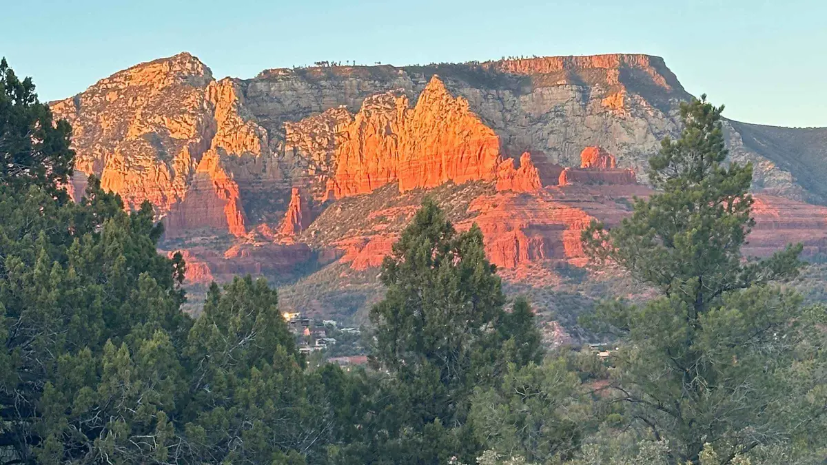
A guided hike on off-the-beaten-path backcountry trails away from the busier named trailheads, aimed at travelers who have already done Cathedral Rock or Devil's Bridge. Suits repeat visitors who want less foot traffic over a bucket-list summit.
Check Availability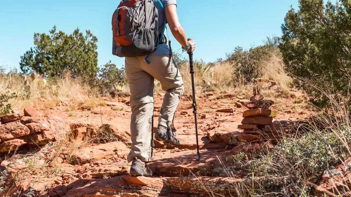 from $123.86
From Sedona: Archeology and Nature Hike
A Jeep ride to a private access point followed by a short, flat 2-mile hike to Native American ruins, positioned as an easier alternative to Palatki or Honanki. The same Sinagua-era dwelling style can be seen without a guide at Palatki Heritage Site, which requires a Red Rock Pass plus a free Recreation.gov reservation.
Check Availability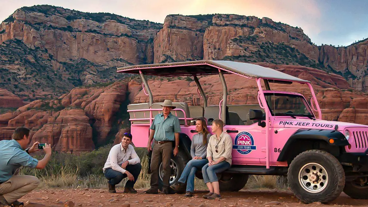 from $111.50
Sedona: Red Rock Range Pink Jeep Tour
A short Jeep run on mild dirt roads west of town to open panoramic viewpoints over Sedona's red rocks, including Thunder Mountain and Bradshaw Overlook. Suits first-time visitors who want scenery without a rough ride.
Check AvailabilityPrices, ratings and details are the platform's own, checked in Q3 2026; dollar figures are the listed prices — the platform bills in your account's currency.
The fee: why the Red Rock Pass does not work here
West Fork Trail is entered through the Call of the Canyon Picnic Site, and that site is one of a small group of Coconino National Forest recreation areas run by an outside concessionaire rather than the Forest Service directly. The Forest Service's own Red Rock Pass program page lists Call of the Canyon/West Fork explicitly among the five sites NOT covered by the America the Beautiful Interagency Pass, alongside Crescent Moon Picnic Site, Grasshopper Point, Beaver Creek Day Use and Lower Lake Mary. These five require a separate Coconino Hospitality Annual Pass, or in West Fork's case, the site's own posted day fee [fs.usda.gov Red Rock Pass program page].
That fee, read directly from the trail's own Forest Service page, is $15 per vehicle per day covering up to five people, $20 for a week, $50 for a year, or $4 for a walk-in visitor arriving without a vehicle [fs.usda.gov]. This is the single most repeated error about this trail online: guides that tell you a Red Rock Pass gets you in are wrong, and arriving with only a Red Rock Pass and no cash or card for the separate fee is the most common way visitors get turned away at the gate.
The hike: three maintained miles through a narrowing canyon
The Forest Service's own trail description is direct about scope: "the trail is marked and maintained for the first three miles," with the full canyon route continuing to 14 miles total for experienced wilderness hikers who continue beyond that point [fs.usda.gov]. Elevation gain on the maintained section is modest and gradual, 52 feet at the first mile, 107 feet at two miles, 221 feet at three miles, compared to 1,178 feet cumulative across the full 14-mile route [fs.usda.gov]. That gentle grade, combined with the shade of the canyon walls and the cold creek alongside the path, is most of why this is Sedona's most-walked trail rather than one of its more strenuous ones.
The walk itself follows Oak Creek through a canyon that narrows as you go, with tall sandstone walls, ferns and moss on the shaded sections, and the creek crossed repeatedly. The Forest Service's own page confirms crossings happen, "you do have to cross the stream in a number of places", without publishing an exact count [fs.usda.gov]. Expect wet feet or careful stepping-stone work at several points regardless of the season; the crossings are shallow but frequent enough that waterproof footwear or a change of socks is worth carrying.
Where the maintained trail actually ends
The Forest Service states the marked and maintained section runs three miles, but its own trail page does not describe a specific landmark (a box canyon, a narrows, a posted sign) that marks that endpoint on the ground. What is confirmed is the distance and the elevation-gain figures above; what is not officially stated is a physical description of the turnaround point itself. In practice, most hikers who are not continuing into the unmaintained 14-mile route simply turn back once the trail becomes noticeably rougher and the crossings more frequent, which corresponds roughly to the three-mile mark the Forest Service publishes.
Anyone planning to continue past that point into the full canyon route should read the Forest Service's separate guidance for extended West Fork trips before setting out. The agency's own page flags this as a distinct undertaking from the maintained day-hike section, requiring different planning.
Fall colour and the lot that closes when full
Autumn is West Fork's busiest season by a wide margin. The Forest Service's own description of the trail leans into it directly: "in autumn, the canyon is ablaze with color, with red and gold leaves floating in clear reflecting pools" [fs.usda.gov]. That description alone drives enough traffic that the same official page warns "traffic into Call of the Canyon/West Fork can become backed up on state Route 89A" during the busiest months [fs.usda.gov]. Meaning the wait is not only for a parking space inside the lot, but for cars queued on the highway itself waiting to turn in.
The lot at Call of the Canyon is small relative to the trail's popularity, and once it fills, new arrivals wait rather than park. No official Forest Service page states a shuttle service to this specific trailhead. Unlike the free Sedona Shuttle, which serves a different list of trailheads (Cathedral Rock, Little Horse, Soldier Pass, Dry Creek Vista and Mescal), West Fork is not on that route. The only reliable way to avoid the fall-colour backup is timing: arrive at or before opening on a weekday, or accept a substantial wait on a fall weekend.
The flash-flood rule
West Fork sits inside the same watershed the National Weather Service names explicitly in its flash-flood guidance for the canyon: NWS Flagstaff issues Flash Flood Warnings covering "Oak Creek and Sycamore Canyons," with guidance that flash flooding is possible in creeks, normally dry washes and swimming holes, warning of "raging killer currents possible in side canyons and narrow slot canyons" and recommending changed plans for hikes into slot canyons or washes when a warning or watch is active [weather.gov, NWS Flagstaff]. A trail defined by repeated creek crossings through a narrowing canyon is exactly the kind of terrain that guidance describes. During the June 15-September 30 monsoon window, check the forecast for the whole canyon before setting out, not just conditions in Sedona itself, since a storm upstream can raise the creek here before local rain arrives.
See Oak Creek Canyon for the wider monsoon pattern across the same road.
How Much Time To Give West Fork Trail
The Forest Service publishes no recommended visit length, only the mileage and elevation figures already cited above. These three routings are ours, built from those distances.
The decision most hikers actually face is not whether to walk the maintained section (almost everyone does) but whether to turn back early, finish the full three miles, or continue into the unmaintained canyon beyond it.
| Routing | What you get | What it skips | Door to door |
|---|---|---|---|
| The short version | The first mile or so: the initial crossings and the canyon narrowing around you | Most of the reflecting pools and the deepest part of the maintained canyon | 45 minutes to 1 hour |
| The full maintained trail | All three marked miles, every published crossing, the turnaround where maintenance ends | The unmaintained continuation toward the full 14-mile canyon | 2 to 3 hours round trip |
| Into the full canyon | The complete 14-mile route for experienced wilderness hikers, per the Forest Service's separate guidance | Nothing, though it needs its own planning and is a different trip from the day-hike above | A full day; 1,178 ft cumulative elevation gain |
Getting there and parking
Call of the Canyon sits on Highway 89A in Oak Creek Canyon, a few minutes south of Slide Rock State Park on the same road, reached from Sedona by driving north on 89A through the canyon's lower switchbacks. The Forest Service's own trail page does not publish a specific parking-lot capacity figure or a fixed gate-opening hour, which is consistent with the vaguer operational detail on this site compared with the more heavily documented Slide Rock facility page next door. What is confirmed, and repeated on the trail's own official page, is that the lot is small enough relative to demand that traffic backs up onto Highway 89A itself during the busiest months.
Treat that as the effective capacity signal in place of a published number, and plan an early start rather than a specific arrival time.
- On Highway 89A, a few minutes south of Slide Rock State Park
- No published parking-lot capacity figure or fixed gate hour
- Highway backup during peak months is the practical signal that the lot is full
- $15/day vehicle fee or $4 walk-in, paid at the fee station on arrival
At West Fork Trail: What To Do, And What Not To
Every line here is argued in the sections above, compressed into the decision you make at the trailhead.
Do
- Bring cash or a card for the $15 day-use fee at Call of the Canyon. A Red Rock Pass alone will not get you through the gate
- Arrive at or before opening during fall colour weeks, when traffic backs up onto Highway 89A itself
- Expect to cross the creek repeatedly; wear shoes you don't mind getting wet
- Turn back around the three-mile mark unless you have specifically planned for the unmaintained route beyond it
- Check the forecast for the whole canyon, not just Sedona, before hiking here during the June 15-September 30 monsoon window
Don't
- Don't assume the Red Rock Pass covers this trailhead. Call of the Canyon is a concessionaire site with its own separate fee
- Don't count on the free Sedona Shuttle. It does not serve this trailhead, only Cathedral Rock, Little Horse, Soldier Pass, Dry Creek Vista and Mescal
- Don't continue past the maintained three miles without reading the Forest Service's own guidance for full canyon trips
- Don't hike into the narrows or across the creek when a flash-flood warning is active for Oak Creek Canyon
- Don't expect a shuttle or overflow lot during fall colour. The wait is the only option once the small lot fills
Five Things Most Visitors Don't Know About West Fork Trail
All five change something practical about the hike, sourced to the Forest Service's own trail page.
- The Red Rock Pass does not cover this trailhead. Call of the Canyon is one of five Coconino National Forest sites excluded from the America the Beautiful pass, and needs its own $15/day fee [fs.usda.gov Red Rock Pass program page]. - Only the first three miles are officially maintained. The Forest Service states this directly; the remaining eleven miles to complete the full 14-mile canyon are for experienced wilderness hikers, with separate guidance published for that trip [fs.usda.gov]. - The exact number of creek crossings is not published. The Forest Service's own trail page confirms crossings happen "in a number of places" without giving a count. Treat any specific crossing number you read elsewhere as someone else's tally, not an official figure [fs.usda.gov]. - Traffic can back up onto the highway itself, not just inside the lot.
The Forest Service's own page names Highway 89A specifically as the place the queue forms during busy months [fs.usda.gov]. - The free Sedona Shuttle does not serve this trailhead. Its route covers Cathedral Rock, Little Horse, Soldier Pass, Dry Creek Vista and Mescal only, so there is no shuttle alternative to driving and paying the Call of the Canyon fee [sedonashuttle.com].
West Fork Trail map: the trailhead and the canyon around it
Call of the Canyon Picnic Site, where the maintained trail begins, and the nearest fee sites along the same road.
Next stop from West Fork Trail
Drive minutes are our estimates from the GPS distances along Highway 89A.
Slide Rock State Park
The swim-and-slide stop a few minutes up the same road, a different fee again, this one to Slide Rock State Park itself.
About 5 minutes north by carOak Creek Canyon scenic drive
West Fork is one stop along Oak Creek Canyon; the overlook and the other fee sites are minutes away in either direction.
The road West Fork sits onRed Rock Pass
The pass that covers most standard trailheads nearby, but explicitly not this one. See the Red Rock Pass page for the full list.
Covers most, not all, Forest Service sitesWest Fork Trail questions
How hard is the West Fork Trail?
The maintained first three miles are easy by Sedona standards. 221 feet of cumulative elevation gain over that distance, mostly flat with a gradual grade. But expect several creek crossings that require careful footing or wet feet. The unmaintained continuation to 14 miles total is a different undertaking, meant for experienced wilderness hikers, and needs separate planning.
What time does West Fork Trail open in Sedona?
The Forest Service's own trail page does not state a fixed gate-opening hour for the Call of the Canyon trailhead. In practice, arriving as early as possible, before 8:00 am on a busy day, is the only reliable way to beat the small lot filling, especially during fall colour weeks when traffic backs up onto Highway 89A itself.
How long does it take to hike West Fork Sedona?
Budget 2 to 3 hours for the maintained first three miles round trip at a comfortable pace with stops at the creek crossings. Continuing into the full 14-mile canyon route is a full-day undertaking for experienced hikers and is not the trip most visitors are planning.
Does the Red Rock Pass cover West Fork Trail parking?
No. Call of the Canyon, the fee site that is the West Fork trailhead, is one of five Coconino National Forest sites specifically excluded from the America the Beautiful / Red Rock Pass system. It charges its own separate $15-a-day vehicle fee, $4 for a walk-in visitor. See the Red Rock Pass page for what that pass does cover nearby.
What is the most beautiful hike in Sedona?
West Fork Trail is widely considered among the most scenic in the area for its combination of tall canyon walls, repeated creek crossings and dramatic fall colour, and it is Sedona's most-walked trail for that reason. Cathedral Rock and Devil's Bridge offer a different kind of scenery, red-rock views rather than a shaded canyon, and each has its own page covering what makes it distinct.
Is there a shuttle to West Fork Trail?
No. The free Sedona Shuttle serves Cathedral Rock, Little Horse, Soldier Pass, Dry Creek Vista and Mescal trailheads only. West Fork is not on that route, so driving to the Call of the Canyon fee station and paying its day-use fee is the only way in.
West Fork Trail on Film: Crossings, Canyon Walls and Fall Colour
Three walk-throughs showing the crossings, the narrowing canyon and the maintained trail's turnaround.
The Best Trail In Sedona ! West Fork!
A full walk of the maintained section, including several of the creek crossings.
Video: Nick Vos Is LostIs This Sedona's Most Beautiful Hike? | West Fork Trail Arizona
A review-style walk-through covering the canyon walls and turnaround point.
Video: Murray Out Of OfficeWest Fork Trail - The Best Easy Hike in Sedona
A pace-setting walk of the easier maintained miles, useful for judging difficulty before you go.
Video: Day adventures with GasperVideos load from YouTube only when you press play.
Reviewed Q3 2026 (July–September 2026); next review Q4 2026. Prices, hours and terms are set by the venue or operator and confirmed at checkout.
We may earn a commission if you book through one of our links, at no extra cost to you. Full affiliate disclosure